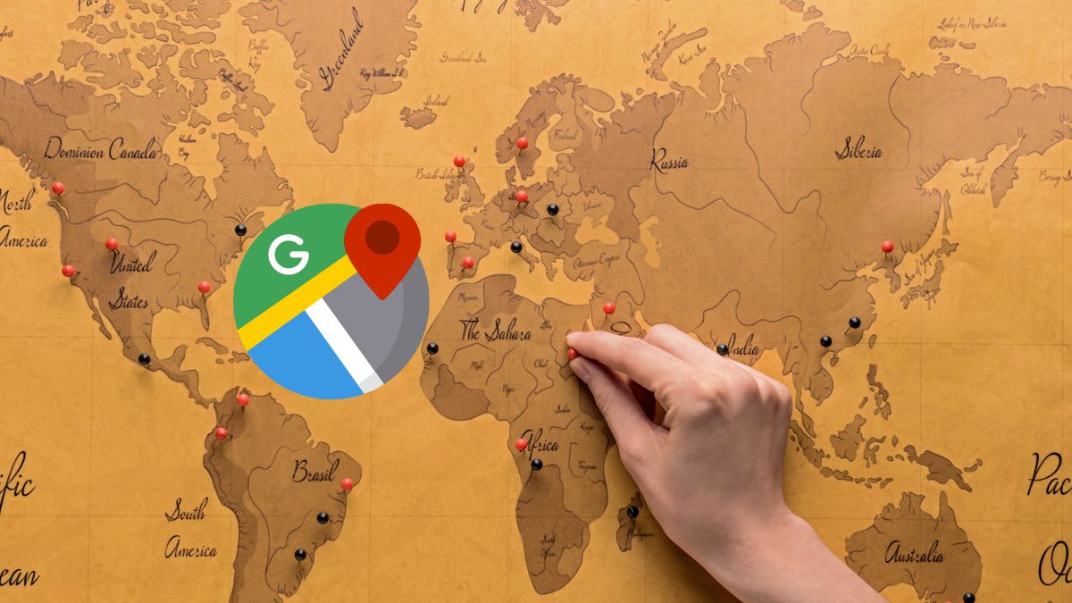
Google Maps It is the undisputed king of map applications and one of the most used by drivers when planning a trip. Furthermore, with this platform you can visit any place in the world just a click away from any device.
However, The experience of navigating the maps is somewhat visually limited, especially when exploring cities, which can get monotonous. However, to transform this experience into something more exciting, there are simulators that take advantage of Maps cartography.
Travel without leaving home: With Google Maps, drive and fly anywhere
Thanks to these platforms, you can drive a car or fly on a plane on Google Maps, offering a unique perspective for exploring places. A notable example is Driving Simulatora technology that allows you to explore the streets of any city in the world from the comfort of your home, simply using your web browser.
This tool uses the Google Maps API to provide a smooth and realistic driving experience. It offers the possibility of choosing between driving a car or a bus, and exploring the environment in different modes such as map, satellite or hybrid.
Additionally, on the screen you will find a steering wheel on the lower right side, which you can control with the arrow or navigation keys on the keyboard to navigate the streets and roads. This simulator evokes the nostalgia of the first games of Grand Theft Autoalthough without the missions, of course.
Likewise, you can also change the camera view, either zooming in or out to get a better view of the surroundings. If you want to have a good time playing Driving Simulator you can access it as follows:
- Open your favorite web browser and go to the Driving Simulator website.
- Click the button Start either start.
- Enter a location in the search bar or select a preset location.
- Choose between driving a car or a bus.
- You can choose map, satellite or hybrid mode.
- Finally, use the arrow keys on your keyboard to move the steering wheel and start scrolling.
Now, if cars are not your thing and you are fascinated by airplanes, you can also fly by plane on Google Maps. And doing so is quite simple with GeoFS.
It is a flight simulator that, like Driving Simulator, allows you to explore the entire world using high-resolution images from Google maps. It’s available in any web browser and offers a realistic flight experience, but don’t expect anything like Microsoft Flight Simulator.
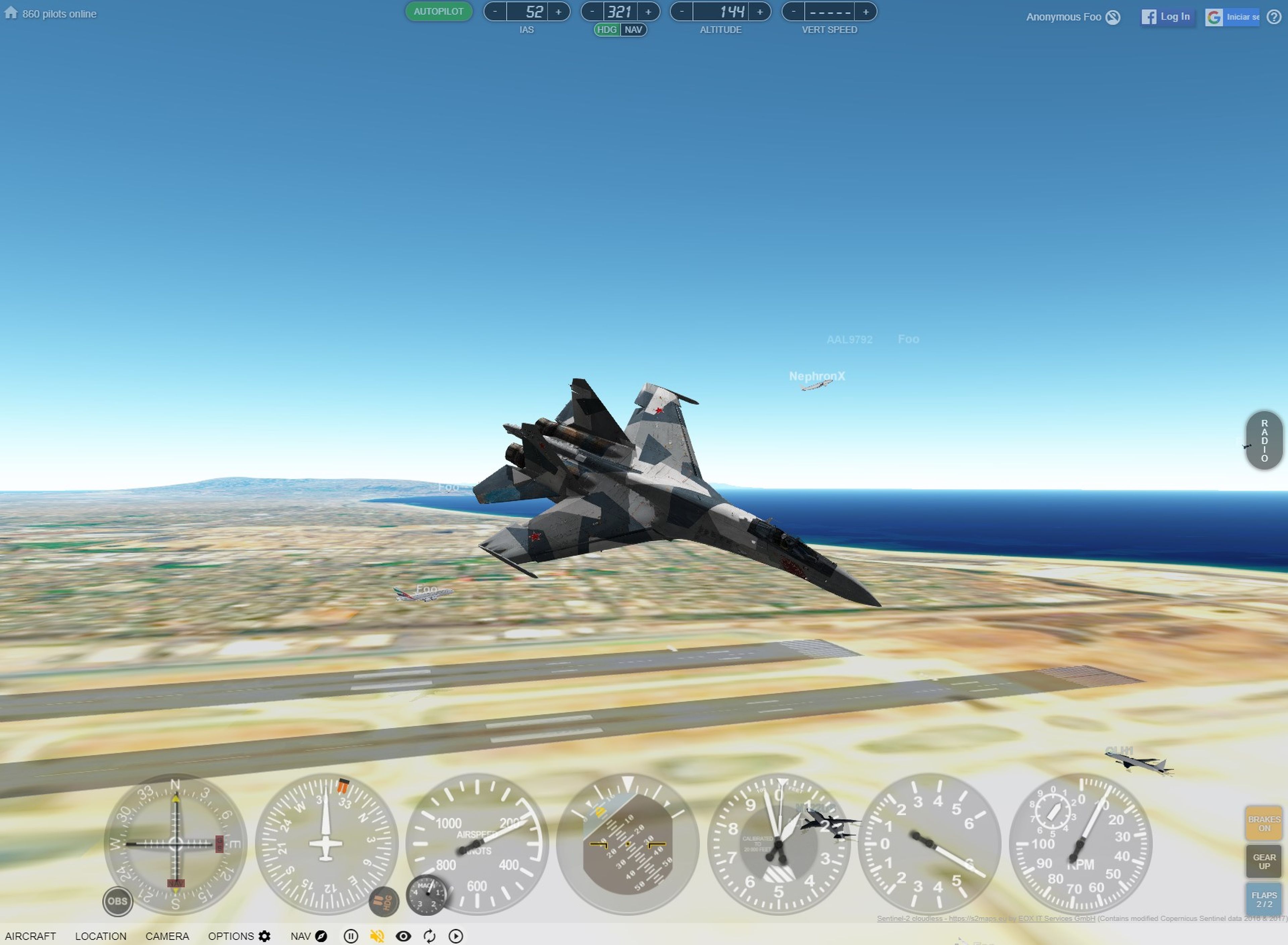
The most attractive thing is that you can choose from a wide range of planes, from gliders to passenger planes. To use this tool, simply visit the GeoFS website, sign up for a free account, and choose to download the app to your mobile device or launch directly from your web browser.
Both GeoFS and Driving Simulator offer you a unique and fun experience to explore the world. With simple and accessible interfaces, these options are ideal for enjoying some leisure time while exploring the most interesting corners of Google Maps from the ground or air.